

Mallorca Hiking Navigation, A Practical Safety Guide for the Serra de Tramuntana
Mallorca is often called “easy” for hiking—and in many areas, it is. But the island can also be demanding: rapid terrain changes, exposed limestone, and stretches of trail where wayfinding is essential. Add the Tramuntana’s microclimates—especially the shift between valley and summit—and hikes that seem simple on a map can become slow, cold, or unexpectedly complex.
This guide is not anti-technology. It’s about independence and redundancy. If your phone works, great. But your day shouldn’t depend on signal, battery life, or a single navigation method.
Use this framework to help turn any route into a sound decision—before you go, on the trail, and when conditions shift.
The Framework
Before you go: the 5-minute checklist:
You don’t need a long plan, just a realistic one. Five minutes of prep prevents most “how did we end up here?” moments.
Route realism (distance is not the metric)
On Mallorca, elevation gain and terrain matter more than kilometers. A route can be short on paper and still take a long time.
- Check distance and elevation gain.
- Know your baseline pace on steep ground—1.5 km/h is often realistic.
- Especially above the tree line, terrain often becomes harder to traverse, and walking speed can drop dramatically.
- When in doubt, make the clear, confident choice. Mallorca rewards decisive action.
Timing (daylight is a hard limit)
People rarely get into trouble because they “got lost.” They get into trouble because they are late.
- Know your start time and latest return time.
- Add a buffer (especially in winter, when daylight is short).
- Decide on your turnaround time before you leave.
Water & basics (simple, but non-negotiable)
Heat and sun are the island’s most predictable risks — and dehydration is the most common performance limiter.
- Carry more water than you think you’ll need.
- Keep water easy to access for consistent hydration—a bladder or bottle you can reach works well.
- Ensure sun protection: wear a hat, sunglasses, and a long-sleeved, breathable shirt.
- Pack a light layer, even in mild seasons. Expect warm valleys and cold, windy summits, especially if you’re sweaty.
Food (keep yourself energized)
Eat properly before you leave.
Bring enough real food for proper breaks (a simple sandwich/snack box), plus quick.
calories for in-between (bars, nuts, gels if you use them).
Exposure & comfort (honest self-assessment)
This is where many people “overestimate quietly.”
- Are you comfortable with heights and steep ground?
- Do you stay calm when the path is not obvious for a few minutes?
- Are you stable on loose rock?
If the answer is “maybe,” select a route with wider paths, lower exposure, and easier terrain. Competence means making these smart choices.
Orientation redundancy (minimal, structured, effective)
Don’t reject digital tools—just have redundancy. One method can fail; three simple layers usually won’t.
A practical three-layer approach:
- GPS position + track (offline) as your primary reference
- Map-based understanding of your route, optionally with a tracking line.
- Screenshots / PDF print of key route facts (start point, timeline, key junctions, escape options)
This isn’t about “being safe with tools,” but about staying capable if one layer breaks.
Principle: Own your judgment—never outsource it to a platform. Use tools, but the final decision is always yours.
Once you start walking, don’t just “follow a line.” Maintain situational awareness and make smart decisions early—even for the small things.
Four habits that prevent most mistakes
1 Confirm early, then manage then manage by junctions. In the first 10–15 minutes, confirm you’re on the intended path. After that, don’t check constantly — check strategically:
- Look at your track and estimate how long it should take to reach the next junction or turning point.
- At that point, check that you are on the correct line. This prevents the classic error: walking confidently for 20 minutes in the wrong direction. because the path “felt right.”
2. Check direction, not only position. Many wrong turns look fine at first. The better question is: am I still moving in the expected direction — toward the next landmark, saddle, viewpoint, or valley line?
3. Use landmarks to stay oriented.
A ridge, a col, a tower, a coastline angle, a valley opening — the Tramuntana is readable if you pay attention. Landmarks give you stability when trail markings are sparse or when multiple path options exist.
4. Read cairns (stone pyramids) — and don’t rush.
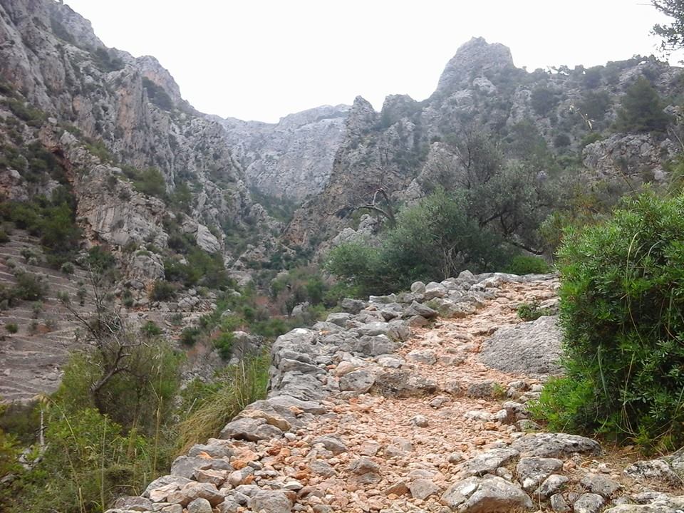
On Mallorca, small stone cairns are a typical way of marking the route — often very helpful, but sometimes surprisingly easy to miss if you’re moving too fast or scanning the wrong line. Also, you may see cairns indicating multiple valid route options (variations, shortcuts, or alternative lines). This doesn’t have to be confusing: in most cases, these cairn-marked lines are reliable — just make sure the one you follow still matches your planned direction and next junction.
A simple Plan B (fallback options that stay calm)
Plan B is not panic mode. It’s a predefined, boring alternative.
- If the trail becomes unclear: stop, check, and backtrack to the last confirmed point.
- If the terrain becomes too steep or exposed for your comfort, turn around early.
- If you’re running late: switch from “summit goal” to “safe return goal.”
Extra rule (important): If you feel uncertain about the direction, trust your judgment and resist the urge to rush. Take a few minutes. Pause, compare your position to the planned junction, then decide your next move. Making confident choices prevents small mistakes from compounding.
Weather, practically interpreted.
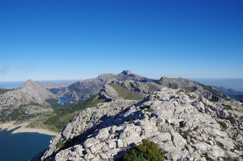
Valley vs summit — and what that means on real terrain
Mallorca’s weather apps often give you a single symbol. The mountains don’t. A hike can start calmly in a sheltered valley, then turn to low cloud, colder air, and different conditions at higher elevations— especially on ridges and plateaus. What’s important is whether conditions match your chosen terrain.
How to read the weather so it matches the trail.
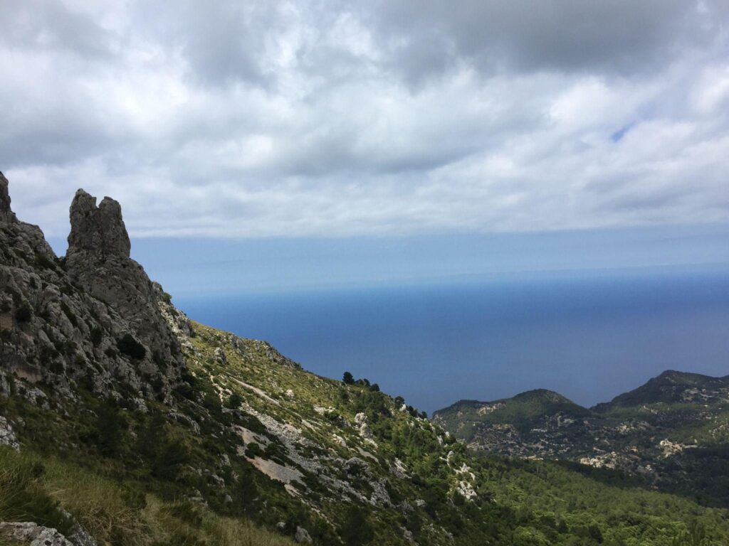
Visibility beats temperature. Low clouds can erase the landscape. When visibility drops, competent navigation and a steady approach keep exposure manageable. If the cloud sits on the ridge or summit zone, choose a lower route.
Wet limestone changes everything. After rain, limestone can become slick. Add leaves, mud, or polished rock, and a moderate hike can turn into a slow, awkward slog. If the rock is wet and the route is steep or rocky, avoid it.
Cold snaps and black ice are real. Even on Mallorca, the Tramuntana can drop below freezing. In winter, that can mean black ice on shaded sections and rock slabs — which changes both the hike and your approach.
This matters for two reasons:
- Driving: Many visitors rent cars with summer tires. On cold mornings, shaded mountain roads can be surprisingly slippery.
- Hiking: Icy rock is a different sport. If there is any chance of ice, choose lower, sunnier routes or postpone.
Wind is a multiplier, not the main story.
Wind amplifies cold, fatigue, and exposure. On ridges, it can also affect balance. It rarely helps your day — but it becomes especially relevant when combined with poor visibility or wet ground.
Key takeaway: Don’t ask, “Is the weather good?” Instead, ask with confidence, “Is the weather compatible with this terrain today?”
Read also: 5 Tramuntana Hikes in Mallorca
Tramuntana has its unique challenges—here are some key pitfalls and planning strategies.
Underestimating how slow ‘rocky’ can be. A short distance can still be a long day if the ground is rough or steep. Plan around it: Think in elevation and terrain, not kilometers.
Relying on public signage. Some routes are clearly marked. Others aren’t — and even on good routes, signage can be inconsistent. Plan around it: Ensure your own orientation capability and don’t assume signs will make decisions for you.
Letting the goal override the conditions. Summit fever exists on Mallorca too — especially because many peaks look “close” from below. Plan around it: Decide in advance what would make you turn back: time, cloud, wet rock, fatigue, exposure.
“I’ll just follow other hikers.” On popular routes, this can work — until it doesn’t. People make mistakes in groups, too. Plan around it: Keep your own decision process. If something feels off, pause and verify.
A simple “when to skip” decision framework (clear, safety-first, non-dramatic)
Here’s a practical filter. If two or more are true, choose an easier route or skip the hike:
- You’re behind schedule early on.
- Visibility in the summit zone is poor (cloud sitting low).
- The rock is wet, and the route is steep/rocky.
- There’s a realistic chance of freezing temperatures / ice on shaded sections.
- You feel unsure about exposure or footing.
- You notice yourself relying on “hoping it will work out.”
Skipping isn’t failure. It’s good judgment. Mallorca rewards people who return safely — and come back for the next hike.
When you choose a hike
A track can inspire, and a photo can motivate. But the real difference on the mountain is whether a route becomes a well- founded decision: realistic timing, terrain-aware planning, orientation redundancy, detailed knowledge about the weather, and a calm “turn back” logic that doesn’t depend on luck.
That’s the philosophy behind mallorca-touren.com: not a platform where anyone uploads anything, but a consistent decision-and-orientation system that integrates planning, honest assessment, and navigation so you can hike independently, without overconfidence, and with your own judgement fully switched on.
Author

Latest from the Blog


Latest Accommodations


Latest Experiences


Leave a Reply